


Location & Maps
See Georgetown for Yourself
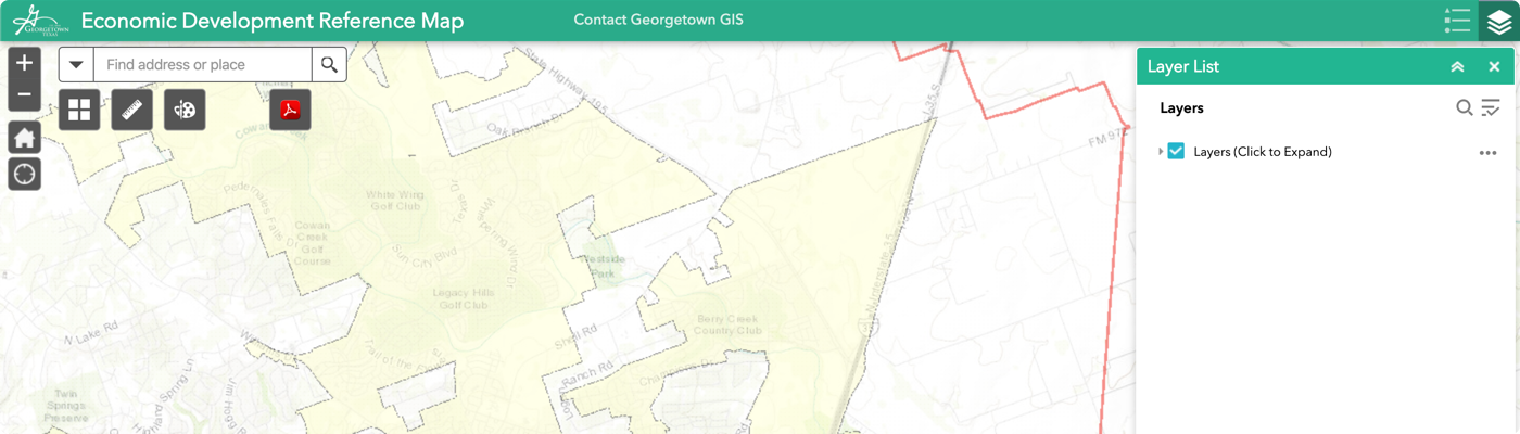
Economic Development Information Map
View property lines and property values, as well as FEMA Flood zones, Edwards Aquifer Recharge zones and utility information such as water lines, wastewater lines, hydrants and electric service provider areas in and around the City of Georgetown.
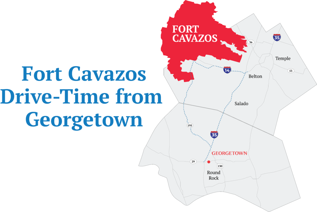
Drive-Time to Fort Cavazos Map
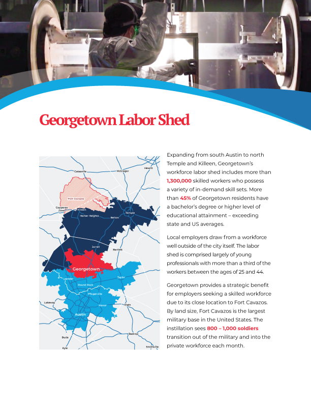
Georgetown Labor Shed
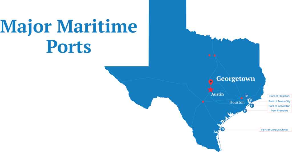
Major Maritime Ports Map
Interactive Georgetown Maps
View →